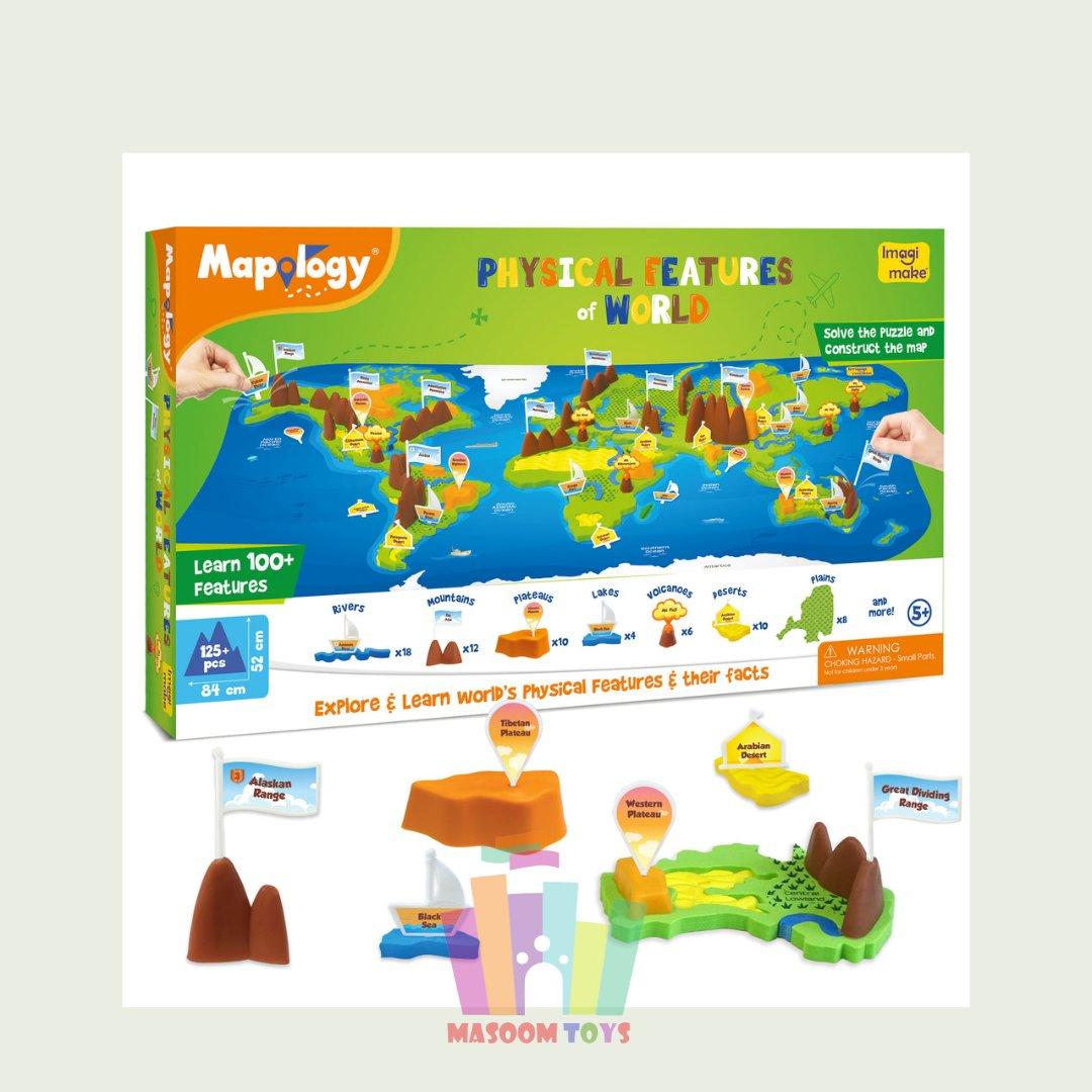
- 100+ FEATURES TO LEARN: Solve the puzzle with river, desert & lake shaped pieces, add the 3D mountains, volcanoes & plateaus to complete the map and get a play way experience of learning about the Physical Features of World
- LEARNING MADE FUN: The nearly 3 feet model of the geographical features with interesting pegs of volcano, boats, flags and works well to capture the children’s attention and keeps them constructively engaged for hours as they play and learn
- FUN FACTS: Where is the largest single rock structure located? Did you know Angel Falls is the highest waterfall in the world? Get these answers & more in the Information and Construction Guide
- DUAL-SIDED MAT: This learning aid comes with a dual-sided mat where one side of the mat represents a political map and the other side represents a physical map. The topographical side shows additional features like waterfalls & lakes while solving from the political side helps understand the location of feature – such as the fact that Sahara Desert is located predominantly across 11 African Countries
- TRUSTED LEARNING AID: Designed keeping school curriculum and learning objectives like map skills in mind while consulting teachers and educators – this product is a great learning aid and also can be very useful for school projects
- CONTENTS: 6 continent Pieces, 1 Dual-Sided Mat, 23 3D Mountains & Plateaus, 32 River, Lake & Desert pieces, 60 Name Pegs, 60 Name Stickers, 1 Spray & Play Bottle, 1 Information & Construction Guide
Sale!
Imagimake Mapology – Physical Features of World
Original price was: ₹1,149.00.₹860.00Current price is: ₹860.00.


Reviews
There are no reviews yet.